Facts over Maryland
State: Maryland
Abbreviation: MD
Capital: Annapolis
State Since: April 28, 1788
Area Codes: 240, 301, 410, 443
Bird: Baltimore Oriole
Flower: Black-eyed susan
Largest City: Baltimore
Motto: Fatti maschii parole femine strong deeds, gentle words
Nickname: Old Line State
Population: 5,296,486
Song: Maryland, My Maryland
Tree: White Oak
Time Zone: -5
Adjacent States:
- Delaware
- Pennsylvania
- West Virginia
- Virginia
- District of Columbia
Maryland Travel Information
Maryland is one of the states of the United States. The standard abbreviation for the “Old Line State”, as it is nicknamed, is MD. The capital is Annapolis.
History
Maryland was originally a British colony, founded by George Calvert (Lord Baltimore). On March 25, 1634, he led the first settlers to the area. The majority of the inhabitants were Catholic, unlike in most other colonies at the time. The Maryland Toleration Act of 1649 was one of the first laws that explicitly allowed multiple (Christian) faiths. However, contrary to popular belief, the state is not named after the Blessed Virgin Mary, but after the wife of King Charles I of England.
The area that the colony was allowed to encompass was initially that between the 40th parallel and the Potomac River south of it, but this was based on an erroneous map. Because this would make Philadelphia, the principal city in Pennsylvania, Maryland, the Calverts and the Penn family, who ruled Pennsylvania, appointed astronomer Charles Mason and surveyor Jeremiah Dixon in the 18th century. The boundary between the two colonies, formed by a straight line between the 39th and 40th parallels, is part of what was later called the Mason-Dixon line.
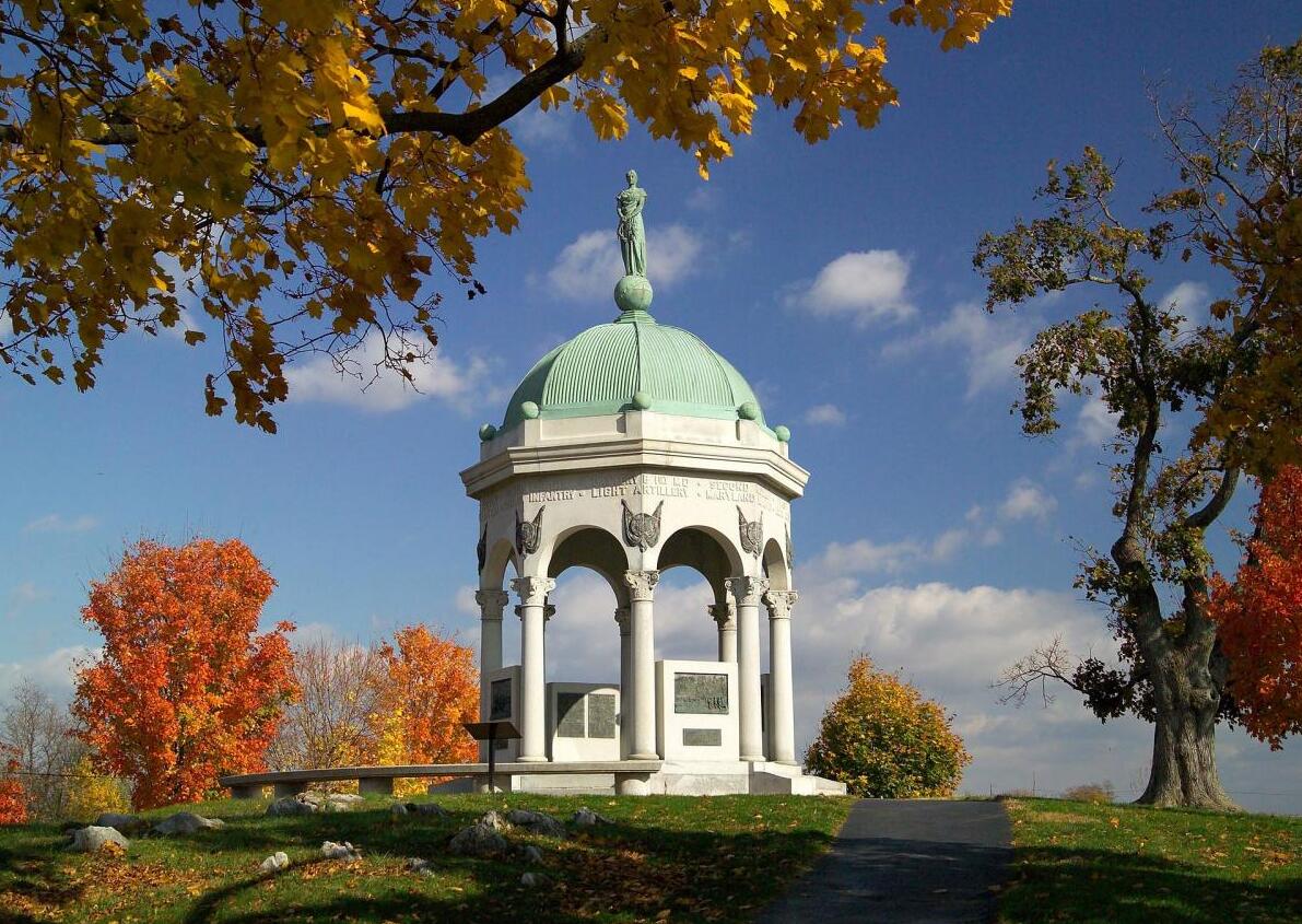
Maryland was one of thirteen colonies that rebelled against the British crown (see American Revolution). During the American Civil War, Maryland, which lay between the Union and Confederate states, remained largely neutral. The bloody battle at Antietam took place on September 17, 1862.
Geography
The state of Maryland covers 32,160 km², of which 25,338 km² is land. The state is in the Eastern time zone. Maryland is bordered to the north by the state of Pennsylvania, to the west and south by West Virginia and Virginia, and to the east by Delaware. The west of the state is hillier than the east. The highest point is 1024 m above sea level. As indicated above, the southern boundary is formed by the Potomac River, which, like the Susquehanna, flows into Chesapeake Bay. There are many swamps along this bay.
Demography and economy
In 2000, Maryland had a population of 5,296,486 (165 per km²). The largest city is Baltimore. Furthermore, many of Washington DC’s suburbs lie within Maryland territory. The gross product of the state in 2001 was 175 billion dollars.
Annapolis & Chesapeake Bay
Due to its location on Chesapeake Bay, the capital Annapolis has a great maritime history. It is therefore nicknamed the Sailing Capital of the World. During a visit to this port city, you cannot skip Main Street, here you will find numerous cozy shops, bars and (fish) restaurants. Also visit the oldest city hall in the United States, Maryland State House.
Fort Foote Park
Fort Foote Park is a historically significant military park located on the Potomac River in Prince Georges County, Maryland. It was of great importance during the American Civil War, when the fortifications here served to protect the capital of Washington DC. It was here that the huge 15-inch Rodman cannons, which had a range of up to three miles, were placed.
These fortifications were only temporary and were intended to withstand attacks by land forces such as foot soldiers, cavalry and artillery. The garrison left this military fort in 1878. Once the war ended, Fort Foote Park served as a training ground for engineering school students. Most of the weapons that were there have been removed. Only two Rodman cannons were left here, and today they stand on pedestals and face the Potomac River.
After World War II, the Fort Foote area was transferred to the Department of the Interior and not long after that came under state protection. Nowadays, this historic park is open to visitors daily from 9 am to sunset.